


St Jean de Buèges Pégayrole

JEANJOSY
User
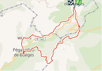

Length
11.9 km

Max alt
405 m

Uphill gradient
420 m
Km-Effort
17.5 km

Min alt
156 m

Downhill gradient
426 m
Boucle
Yes
Creation date :
2025-05-08 07:18:15.687
Updated on :
2025-05-08 19:08:23.121
3h59
Difficulty : Difficult

FREE GPS app for hiking
 SityTrail
IGN / Geographical institutes
SityTrail Plus
The world is yours!
About
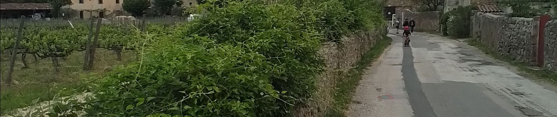
Trail Walking of 11.9 km to be discovered at Occitania, Hérault, Saint-Jean-de-Buèges. This trail is proposed by JEANJOSY.
Photos


Positioning
Country:
France
Region :
Occitania
Department/Province :
Hérault
Municipality :
Saint-Jean-de-Buèges
Location:
Unknown
Start:(Dec)
Start:(UTM)
549705 ; 4852691 (31T) N.
Comments