


Fort bas Meyronnes

chbolle
User
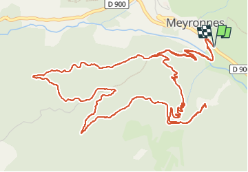

Length
9.7 km

Max alt
1913 m

Uphill gradient
459 m
Km-Effort
15.8 km

Min alt
1518 m

Downhill gradient
459 m
Boucle
Yes
Creation date :
2025-05-09 07:44:02.525
Updated on :
2025-05-09 11:02:10.326
3h04
Difficulty : Medium

FREE GPS app for hiking
 SityTrail
IGN / Geographical institutes
SityTrail Plus
The world is yours!
About
Trail Walking of 9.7 km to be discovered at Provence-Alpes-Côte d'Azur, Alpes-de-Haute-Provence, Val-d'Oronaye. This trail is proposed by chbolle.
Positioning
Country:
France
Region :
Provence-Alpes-Côte d'Azur
Department/Province :
Alpes-de-Haute-Provence
Municipality :
Val-d'Oronaye
Location:
Unknown
Start:(Dec)
Start:(UTM)
325173 ; 4926870 (32T) N.
Comments