


Rocher de Pertuis

cousam
User

Length
6.7 km

Max alt
1150 m

Uphill gradient
576 m
Km-Effort
14.4 km

Min alt
586 m

Downhill gradient
574 m
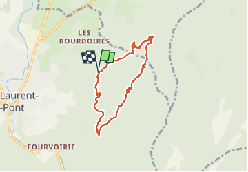
Boucle
Yes
Creation date :
2025-05-11 07:53:29.952
Updated on :
2025-05-11 10:36:43.947
2h42
Difficulty : Difficult

FREE GPS app for hiking
 SityTrail
IGN / Geographical institutes
SityTrail Plus
The world is yours!
About
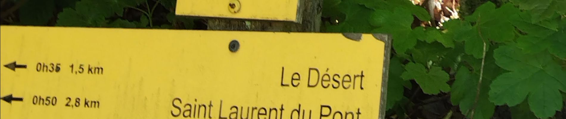
Trail Walking of 6.7 km to be discovered at Auvergne-Rhône-Alpes, Isère, Saint-Laurent-du-Pont. This trail is proposed by cousam.
Photos


Positioning
Country:
France
Region :
Auvergne-Rhône-Alpes
Department/Province :
Isère
Municipality :
Saint-Laurent-du-Pont
Location:
Unknown
Start:(Dec)
Start:(UTM)
715843 ; 5030287 (31T) N.
Comments