


Gardanne. j.f. marie

NADINE52
User

Length
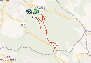
6.8 km

Max alt
372 m

Uphill gradient
131 m
Km-Effort
8.6 km

Min alt
274 m

Downhill gradient
131 m
Boucle
Yes
Creation date :
2025-05-13 08:18:22.431
Updated on :
2025-05-13 11:39:55.658
1h56
Difficulty : Medium

FREE GPS app for hiking
 SityTrail
IGN / Geographical institutes
SityTrail Plus
The world is yours!
About
Trail Walking of 6.8 km to be discovered at Provence-Alpes-Côte d'Azur, Bouches-du-Rhône, Gardanne. This trail is proposed by NADINE52.
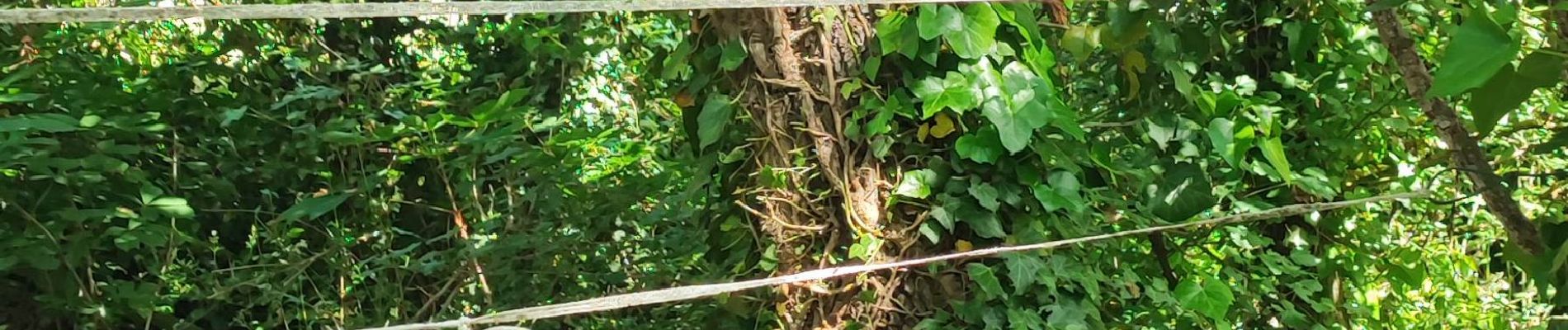
Photos

Positioning
Country:
France
Region :
Provence-Alpes-Côte d'Azur
Department/Province :
Bouches-du-Rhône
Municipality :
Gardanne
Location:
Unknown
Start:(Dec)
Start:(UTM)
701790 ; 4813415 (31T) N.
Comments