


canoles

loucat34
User
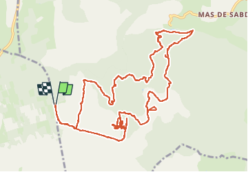

Length
16.3 km

Max alt
747 m

Uphill gradient
349 m
Km-Effort
21 km

Min alt
527 m

Downhill gradient
348 m
Boucle
Yes
Creation date :
2025-05-13 07:54:47.893
Updated on :
2025-05-13 14:40:52.929
6h44
Difficulty : Very difficult

FREE GPS app for hiking
 SityTrail
IGN / Geographical institutes
SityTrail Plus
The world is yours!
About
Trail Walking of 16.3 km to be discovered at Occitania, Aveyron, Nant. This trail is proposed by loucat34.
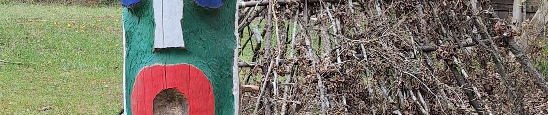
Photos


Positioning
Country:
France
Region :
Occitania
Department/Province :
Aveyron
Municipality :
Nant
Location:
Unknown
Start:(Dec)
Start:(UTM)
518954 ; 4869463 (31T) N.
Comments