


Cornus Le Mas Raynal

Alain28/01
User
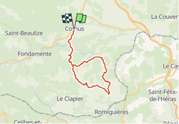

Length
28 km

Max alt
843 m

Uphill gradient
734 m
Km-Effort
37 km

Min alt
525 m

Downhill gradient
732 m
Boucle
Yes
Creation date :
2025-05-13 17:48:16.771
Updated on :
2025-05-13 17:49:24.325
8h31
Difficulty : Difficult

FREE GPS app for hiking
 SityTrail
IGN / Geographical institutes
SityTrail Plus
The world is yours!
About
Trail Walking of 28 km to be discovered at Occitania, Aveyron, Cornus. This trail is proposed by Alain28/01.
Positioning
Country:
France
Region :
Occitania
Department/Province :
Aveyron
Municipality :
Cornus
Location:
Unknown
Start:(Dec)
Start:(UTM)
514344 ; 4860815 (31T) N.
Comments