


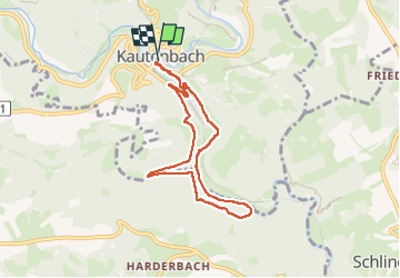
Kautenbach - Sentier local KI 2

Je vous emmène sur mes chemins
Par Mumu.larandonneuse


1h47
Difficulty : Medium

FREE GPS app for hiking
 SityTrail
IGN / Geographical institutes
SityTrail Plus
The world is yours!
About
Trail Walking of 6.8 km to be discovered at Unknown, Canton Wiltz, Kiischpelt. This trail is proposed by Je vous emmène sur mes chemins .
Description
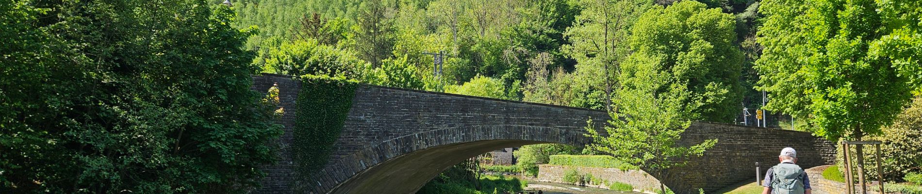
Une balade le long de l'eau et sur les versants de la Wiltz et du Nacherbaach.
⚠️ Il ne faut pas avoir peur du vide, sentier étroit sur versant très abrupte.
ℹ️ www.visitluxembourg.com & www.visit-eislek.lu
Photos


Positioning
Comments