


Montcuq Laurette

simonm0204
User
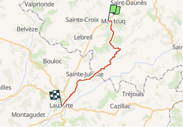

Length
15.6 km

Max alt
262 m

Uphill gradient
408 m
Km-Effort
21 km

Min alt
127 m

Downhill gradient
377 m
Boucle
No
Creation date :
2025-05-14 07:07:36.0
Updated on :
2025-05-14 13:17:03.464

FREE GPS app for hiking
 SityTrail
IGN / Geographical institutes
SityTrail Plus
The world is yours!
About
Trail of 15.6 km to be discovered at Occitania, Lot, Montcuq-en-Quercy-Blanc. This trail is proposed by simonm0204.
Description
Avec le changement Gr de Montcuq
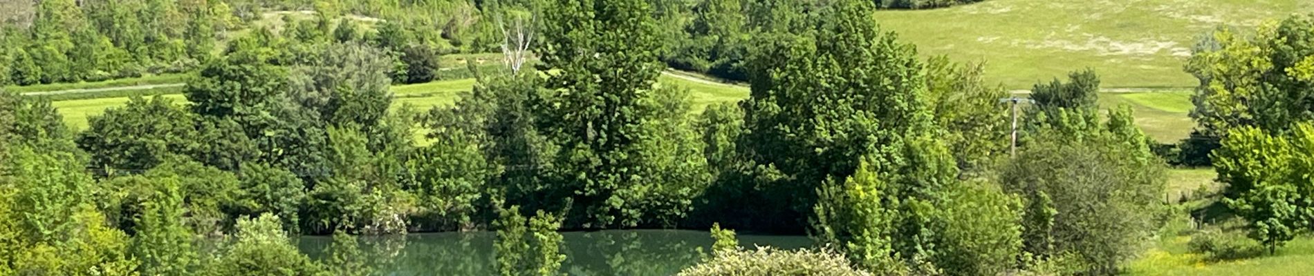
Photos


Positioning
Country:
France
Region :
Occitania
Department/Province :
Lot
Municipality :
Montcuq-en-Quercy-Blanc
Location:
Unknown
Start:(Dec)
Start:(UTM)
356592 ; 4911039 (31T) N.
Comments