


Azay-sur-Cher - Château de Nitray - Chandon - 22.3km 205m 5h10 (55mn) - 2025 05 14

Orcal37
User GUIDE
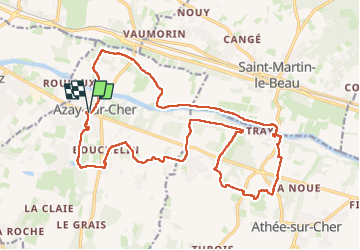

Length
22 km

Max alt
97 m

Uphill gradient
206 m
Km-Effort
25 km

Min alt
47 m

Downhill gradient
207 m
Boucle
Yes
Creation date :
2025-05-14 08:36:50.49
Updated on :
2025-05-15 15:43:57.546
5h10
Difficulty : Medium

FREE GPS app for hiking
 SityTrail
IGN / Geographical institutes
SityTrail Plus
The world is yours!
About
Trail Walking of 22 km to be discovered at Centre-Loire Valley, Indre-et-Loire, Azay-sur-Cher. This trail is proposed by Orcal37.
Description
Azay-sur-Cher - Château de Nitray - Chandon - via PRs - 22.3km 205m 5h10 (55mn) - 2025 05 14
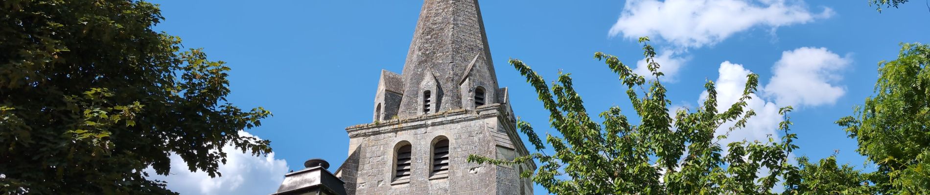
Photos
 - 2025 05 14 - Photo 1")
 - 2025 05 14 - Photo 2")
 - 2025 05 14 - Photo 3")
 - 2025 05 14 - Photo 4")
 - 2025 05 14 - Photo 5")
 - 2025 05 14 - Photo 6")
 - 2025 05 14 - Photo 7")
 - 2025 05 14 - Photo 8")
 - 2025 05 14 - Photo 9")
 - 2025 05 14 - Photo 10")
 - 2025 05 14 - Photo 11")
Positioning
Country:
France
Region :
Centre-Loire Valley
Department/Province :
Indre-et-Loire
Municipality :
Azay-sur-Cher
Location:
Unknown
Start:(Dec)
Start:(UTM)
337212 ; 5246033 (31T) N.
Comments