


Ste Anne

sameja
User
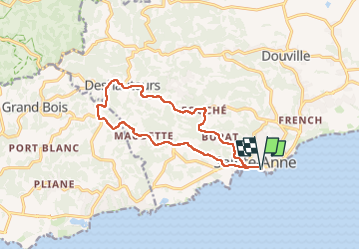

Length
17.7 km

Max alt
130 m

Uphill gradient
281 m
Km-Effort
21 km

Min alt
0 m

Downhill gradient
281 m
Boucle
Yes
Creation date :
2025-05-15 09:14:04.0
Updated on :
2025-05-15 11:53:43.018
2h38
Difficulty : Difficult

FREE GPS app for hiking
 SityTrail
IGN / Geographical institutes
SityTrail Plus
The world is yours!
About
Trail Trail of 17.7 km to be discovered at Guadeloupe, Unknown, Sainte-Anne. This trail is proposed by sameja.
Description
La grande boucle
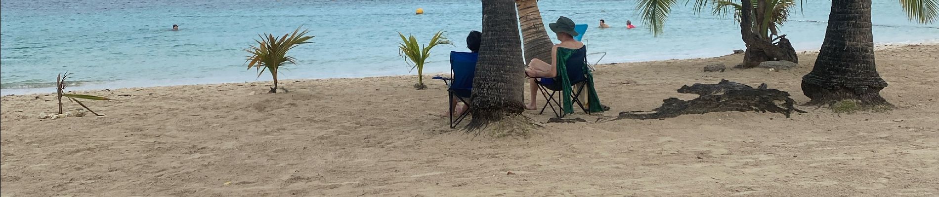
Photos


Positioning
Country:
France
Region :
Guadeloupe
Department/Province :
Unknown
Municipality :
Sainte-Anne
Location:
Unknown
Start:(Dec)
Start:(UTM)
672761 ; 1794300 (20Q) N.
Comments