


Les Tourelles Fontanès

JEANJOSY
User
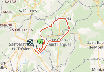

Length
14.2 km

Max alt
223 m

Uphill gradient
230 m
Km-Effort
17.4 km

Min alt
96 m

Downhill gradient
258 m
Boucle
No
Creation date :
2025-05-15 07:30:35.759
Updated on :
2025-05-15 13:54:39.722
3h26
Difficulty : Medium

FREE GPS app for hiking
 SityTrail
IGN / Geographical institutes
SityTrail Plus
The world is yours!
About
Trail Walking of 14.2 km to be discovered at Occitania, Hérault, Saint-Mathieu-de-Tréviers. This trail is proposed by JEANJOSY.
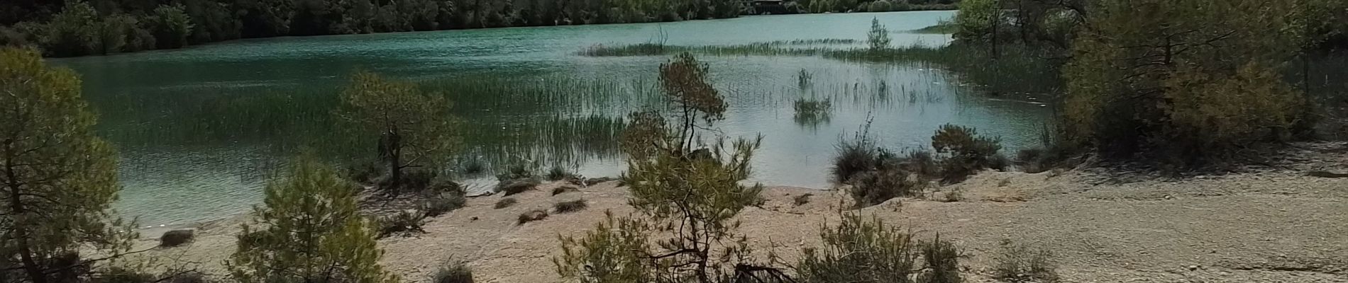
Photos


Positioning
Country:
France
Region :
Occitania
Department/Province :
Hérault
Municipality :
Saint-Mathieu-de-Tréviers
Location:
Unknown
Start:(Dec)
Start:(UTM)
570988 ; 4846486 (31T) N.
Comments