


petit m'ordonner.2025.05.15

trusgnachjf
User

Length
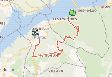
17.7 km

Max alt
1740 m

Uphill gradient
1174 m
Km-Effort
33 km

Min alt
864 m

Downhill gradient
913 m
Boucle
No
Creation date :
2025-05-15 07:20:31.341
Updated on :
2025-05-15 14:36:32.874
7h14
Difficulty : Very difficult

FREE GPS app for hiking
 SityTrail
IGN / Geographical institutes
SityTrail Plus
The world is yours!
About
Trail Walking of 17.7 km to be discovered at Provence-Alpes-Côte d'Azur, Hautes-Alpes, Savines-le-Lac. This trail is proposed by trusgnachjf.
Positioning
Country:
France
Region :
Provence-Alpes-Côte d'Azur
Department/Province :
Hautes-Alpes
Municipality :
Savines-le-Lac
Location:
Unknown
Start:(Dec)
Start:(UTM)
292457 ; 4932745 (32T) N.
Comments