


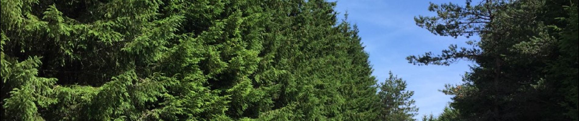
TOUR DU MONTCHOUVET 43 - circuit pédestre les noisettes sauvages

jeff66
User


4h13
Difficulty : Difficult

FREE GPS app for hiking
 SityTrail
IGN / Geographical institutes
SityTrail Plus
The world is yours!
About
Trail Walking of 18.1 km to be discovered at Auvergne-Rhône-Alpes, Haute-Loire, Grèzes. This trail is proposed by jeff66.
Description
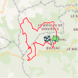
TOUR DU MONTCHOUVET 43 - départ entre Bugeac et Le Menial - chante perdrix - les Bartes - le suc - zouriat - Poutarelle - vue sur Servieres - Le Courniet - site archéologique - les Hivers - le Soubirot - le MONTCHOUVET - Ronc de Chazeyrat - D 33 - Combe -
Photos


Positioning
Comments