


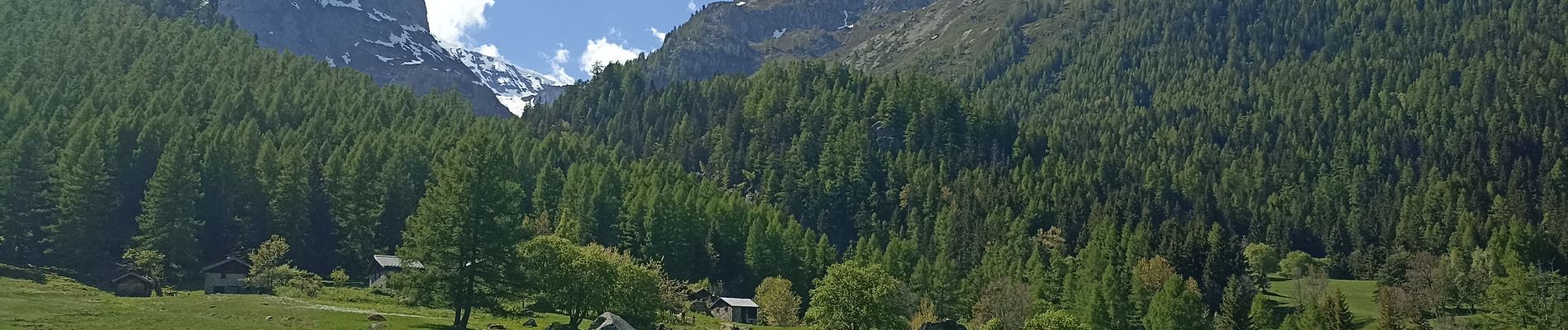
refuge de la pierre à Berard

jeff2
User
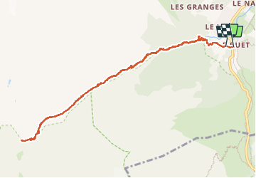

Length
11.4 km

Max alt
1934 m

Uphill gradient
620 m
Km-Effort
19.7 km

Min alt
1344 m

Downhill gradient
622 m
Boucle
Yes
Creation date :
2025-05-16 07:16:08.991
Updated on :
2025-05-16 14:06:55.425
6h49
Difficulty : Medium

FREE GPS app for hiking
 SityTrail
IGN / Geographical institutes
SityTrail Plus
The world is yours!
About
Trail Walking of 11.4 km to be discovered at Auvergne-Rhône-Alpes, Upper Savoy, Vallorcine. This trail is proposed by jeff2.
Description
Très beau chemin avec moulte Bouquetins
Photos


Positioning
Country:
France
Region :
Auvergne-Rhône-Alpes
Department/Province :
Upper Savoy
Municipality :
Vallorcine
Location:
Unknown
Start:(Dec)
Start:(UTM)
338835 ; 5098247 (32T) N.
Comments