


reco 11- Suc de la Lauzière

lmc
User
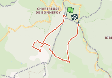

Length
7.3 km

Max alt
1585 m

Uphill gradient
198 m
Km-Effort
10.2 km

Min alt
1358 m

Downhill gradient
267 m
Boucle
No
Creation date :
2025-05-17 09:27:26.739
Updated on :
2025-05-17 12:29:26.624
1h57
Difficulty : Easy

FREE GPS app for hiking
 SityTrail
IGN / Geographical institutes
SityTrail Plus
The world is yours!
About
Trail Walking of 7.3 km to be discovered at Auvergne-Rhône-Alpes, Ardèche, Borée. This trail is proposed by lmc.
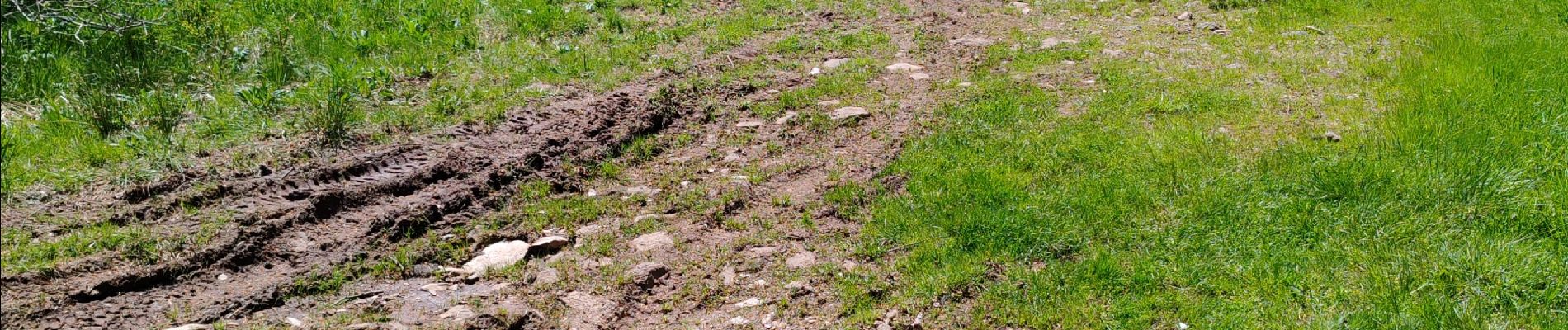
Photos

Positioning
Country:
France
Region :
Auvergne-Rhône-Alpes
Department/Province :
Ardèche
Municipality :
Borée
Location:
Unknown
Start:(Dec)
Start:(UTM)
593825 ; 4969055 (31T) N.
Comments