


zeuzier

siejcsal
User
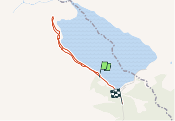

Length
3 km

Max alt
1808 m

Uphill gradient
70 m
Km-Effort
4 km

Min alt
1754 m

Downhill gradient
73 m
Boucle
No
Creation date :
2014-12-10 00:00:00.0
Updated on :
2014-12-10 00:00:00.0
--
Difficulty : Unknown

FREE GPS app for hiking
 SityTrail
IGN / Geographical institutes
SityTrail Plus
The world is yours!
About
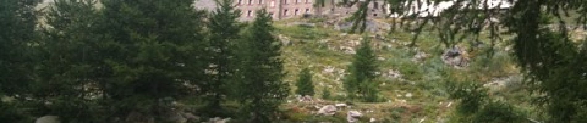
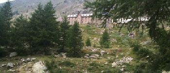
Trail Walking of 3 km to be discovered at Valais/Wallis, Hérens, Ayent. This trail is proposed by siejcsal.
Photos


Positioning
Country:
Switzerland
Region :
Valais/Wallis
Department/Province :
Hérens
Municipality :
Ayent
Location:
Unknown
Start:(Dec)
Start:(UTM)
379142 ; 5133810 (32T) N.
Comments