


Grammondo 3

ETMU5496
User
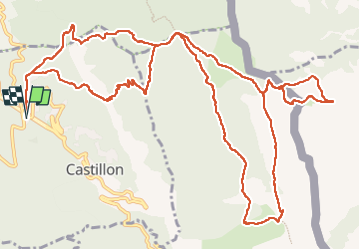

Length
18.5 km

Max alt
1368 m

Uphill gradient
1258 m
Km-Effort
35 km

Min alt
720 m

Downhill gradient
1258 m
Boucle
Yes
Creation date :
2025-05-18 06:16:43.0
Updated on :
2025-05-18 13:13:21.801

FREE GPS app for hiking
 SityTrail
IGN / Geographical institutes
SityTrail Plus
The world is yours!
About
Trail of 18.5 km to be discovered at Provence-Alpes-Côte d'Azur, Maritime Alps, Castillon. This trail is proposed by ETMU5496.
Description
Depuis Castillon
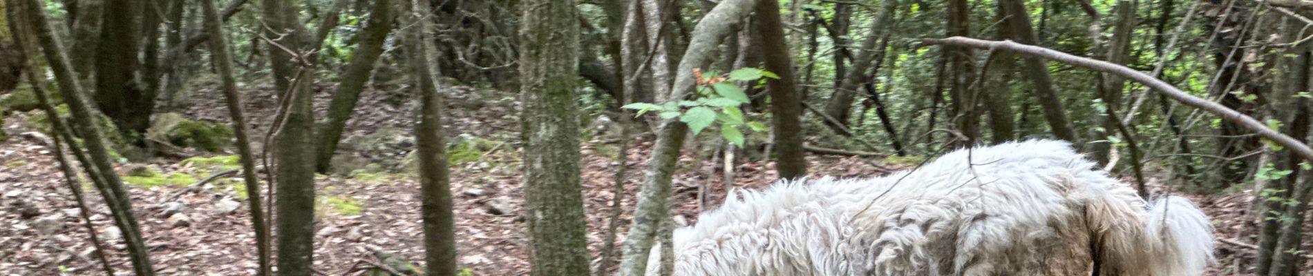
Photos


Positioning
Country:
France
Region :
Provence-Alpes-Côte d'Azur
Department/Province :
Maritime Alps
Municipality :
Castillon
Location:
Unknown
Start:(Dec)
Start:(UTM)
376262 ; 4855192 (32T) N.
Comments