


42-barrageCouzon_10km300m

SyMA
User
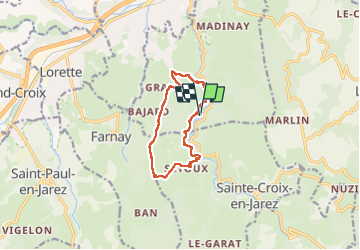

Length
9.9 km

Max alt
565 m

Uphill gradient
290 m
Km-Effort
13.8 km

Min alt
312 m

Downhill gradient
290 m
Boucle
Yes
Creation date :
2025-05-18 13:03:37.339
Updated on :
2025-05-19 17:01:34.717
3h11
Difficulty : Easy

FREE GPS app for hiking
 SityTrail
IGN / Geographical institutes
SityTrail Plus
The world is yours!
About
Trail Walking of 9.9 km to be discovered at Auvergne-Rhône-Alpes, Loire, Châteauneuf. This trail is proposed by SyMA.
Description
attention pont effondré rive coté opposé sur Couzon km1.5
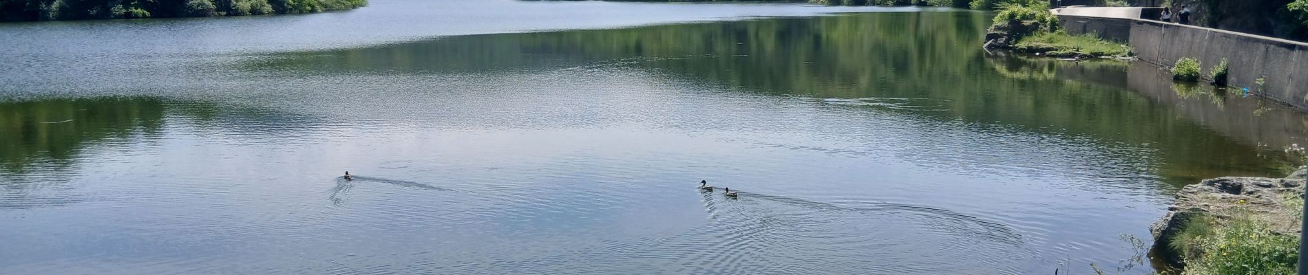
Photos


Positioning
Country:
France
Region :
Auvergne-Rhône-Alpes
Department/Province :
Loire
Municipality :
Châteauneuf
Location:
Unknown
Start:(Dec)
Start:(UTM)
627240 ; 5039593 (31T) N.
Comments