


Azay-sur-Cher - Brandon Truyes le Grais - 23.7km 185m 5h25 (50mn) - 2025 05 18

Orcal37
User GUIDE
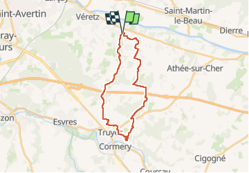

Length
24 km

Max alt
107 m

Uphill gradient
189 m
Km-Effort
26 km

Min alt
63 m

Downhill gradient
186 m
Boucle
Yes
Creation date :
2025-05-18 08:35:21.439
Updated on :
2025-05-22 08:44:42.574
5h25
Difficulty : Medium

FREE GPS app for hiking
 SityTrail
IGN / Geographical institutes
SityTrail Plus
The world is yours!
About
Trail Walking of 24 km to be discovered at Centre-Loire Valley, Indre-et-Loire, Azay-sur-Cher. This trail is proposed by Orcal37.
Description
Azay-sur-Cher - Brandon (Tour) - Truyes - le Grais - difficulté moyenne car quelques grandes routes sur le parcours - 23.7km 185m 5h25 (50mn) - 2025 05 18
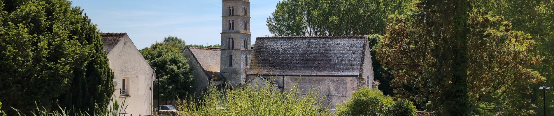
Photos
 - 2025 05 18 - Photo 1")
 - 2025 05 18 - Photo 2")
 - 2025 05 18 - Photo 3")
 - 2025 05 18 - Photo 4")
 - 2025 05 18 - Photo 5")
 - 2025 05 18 - Photo 6")
 - 2025 05 18 - Photo 7")
 - 2025 05 18 - Photo 8")
 - 2025 05 18 - Photo 9")
 - 2025 05 18 - Photo 10")
 - 2025 05 18 - Photo 11")
 - 2025 05 18 - Photo 12")
Positioning
Country:
France
Region :
Centre-Loire Valley
Department/Province :
Indre-et-Loire
Municipality :
Azay-sur-Cher
Location:
Unknown
Start:(Dec)
Start:(UTM)
337119 ; 5245632 (31T) N.
Comments