collette et crête de Gilly

amiral13
User GUIDE
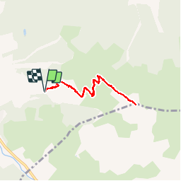

Length
6.5 km

Max alt
2574 m

Uphill gradient
543 m
Km-Effort
13.7 km

Min alt
2025 m

Downhill gradient
542 m
Boucle
Yes
Creation date :
2015-07-18 00:00:00.0
Updated on :
2015-07-18 00:00:00.0
3h51
Difficulty : Easy

FREE GPS app for hiking
 SityTrail
IGN / Geographical institutes
SityTrail Plus
The world is yours!
About
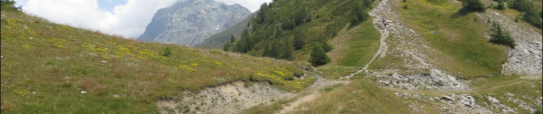
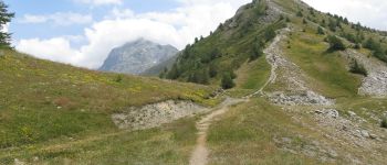
Trail Walking of 6.5 km to be discovered at Provence-Alpes-Côte d'Azur, Hautes-Alpes, Abriès-Ristolas. This trail is proposed by amiral13.
Description
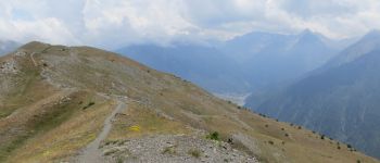
petite randonnée familiale au départ du télésiège de Gilly.
le sentier est un peu plus difficile au départ de la collette vers la crête.
Photos


Positioning
Country:
France
Region :
Provence-Alpes-Côte d'Azur
Department/Province :
Hautes-Alpes
Municipality :
Abriès-Ristolas
Location:
Abriès
Start:(Dec)
Start:(UTM)
337540 ; 4962098 (32T) N.
Comments