


La d'Isaby depuis le Col de Tramassel (Hautacam)

yvesdelafforest
User
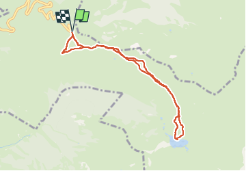

Length
8.3 km

Max alt
1692 m

Uphill gradient
213 m
Km-Effort
11.2 km

Min alt
1562 m

Downhill gradient
212 m
Boucle
Yes
Creation date :
2025-05-21 09:02:55.88
Updated on :
2025-05-21 13:19:01.373
4h15
Difficulty : Medium

FREE GPS app for hiking
 SityTrail
IGN / Geographical institutes
SityTrail Plus
The world is yours!
About
Trail Walking of 8.3 km to be discovered at Occitania, Hautespyrenees, Beaucens. This trail is proposed by yvesdelafforest.
Positioning
Country:
France
Region :
Occitania
Department/Province :
Hautespyrenees
Municipality :
Beaucens
Location:
Unknown
Start:(Dec)
Start:(UTM)
744400 ; 4762032 (30T) N.
Comments