Trail Walking Isola - Véga de Ste Anne  - Photo
 bozo1970
bozo1970

User

© OpenStreetMap contributors
Length
Length
8.5 km
Max alt
Max alt
2390 m
Uphill gradient
Uphill gradient
713 m
Km-Effort
Km-Effort  
18 km
Min alt
Min alt
1717 m
Downhill gradient
Downhill gradient
712 m
Boucle
Boucle
Yes
Creation date :
2025-05-22 07:14:14.0
Updated on :
2025-05-22 20:42:06.619

(0 Reviews)

Walking
Walking
3h59
Difficulty : Difficult

Scan this QR Code to open this trail in the SityTrail application

FREE GPS app for hiking

Logo SityTrail SityTrail

IGN / Geographical institutes

Download SityTrail from the App Store Download SityTrail from Google Play

Logo SityTrail SityTrail Plus

The world is yours!

Download SityTrail from the App Store Download SityTrail from Google Play Download SityTrail on Huawei AppGallery

About

Trail Walking of 8.5 km to be discovered at Provence-Alpes-Côte d'Azur, Maritime Alps, Isola. This trail is proposed by bozo1970.

Description

Départ de la chapelle de Ste Anne
Montée au pas en 1h16’ D 600 et 3km
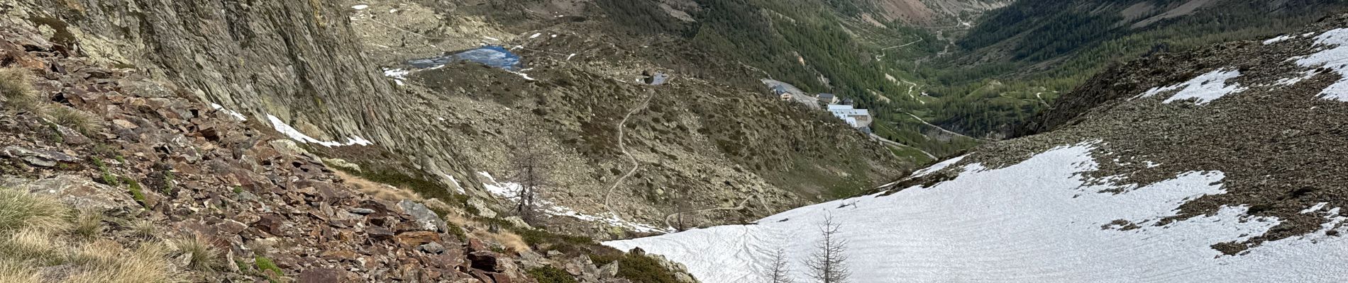
Direction le col du Lausfer
Encore de la neige sur la piste au niveau des passages nord/ouest
Quelques glissades
Trop galère avec le chiot
Dernier passage avant le col trop compliqué
On réessayera dans 15 jours
Il aurait fallu passer par la tête de Colle Haute
A/R en 4h 9km et D 720
Chamois   marmottes

Elevation profile

Photos

Positioning

Country:
France
Region :
Provence-Alpes-Côte d'Azur
Department/Province :
Maritime Alps
Municipality :
Isola
Location:
Unknown
Start:(UTM)
349043 ; 4896791 (32T) N.


Close
My subscriptions