


tour par MOUSTIERS

bernardcornu
User

Length
52 km

Max alt
782 m

Uphill gradient
686 m
Km-Effort
61 km

Min alt
423 m

Downhill gradient
686 m
Boucle
Yes
Creation date :
2025-05-23 14:06:05.576
Updated on :
2025-05-23 16:56:13.361
2h37
Difficulty : Medium

FREE GPS app for hiking
 SityTrail
IGN / Geographical institutes
SityTrail Plus
The world is yours!
About
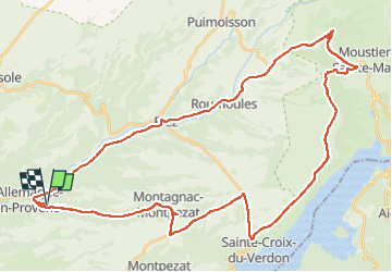
Trail Road bike of 52 km to be discovered at Provence-Alpes-Côte d'Azur, Alpes-de-Haute-Provence, Allemagne-en-Provence. This trail is proposed by bernardcornu.
Positioning
Country:
France
Region :
Provence-Alpes-Côte d'Azur
Department/Province :
Alpes-de-Haute-Provence
Municipality :
Allemagne-en-Provence
Location:
Unknown
Start:(Dec)
Start:(UTM)
260048 ; 4851723 (32T) N.
Comments