


Chandon - Aérodrome Dierre Saint-Martin-le-Beau - 23.5km 145m 5h45 (55mn) - 2025 05 24

Orcal37
User GUIDE


5h45
Difficulty : Easy

FREE GPS app for hiking
 SityTrail
IGN / Geographical institutes
SityTrail Plus
The world is yours!
About
Trail Walking of 23 km to be discovered at Centre-Loire Valley, Indre-et-Loire, Saint-Martin-le-Beau. This trail is proposed by Orcal37.
Description
Chandon - Aérodrome d'Amboise-Dierre - Dierre - Saint-Martin-le-Beau - Aéroclub modélisme - 23.5km 145m 5h45 (55mn) - 2025 05 24
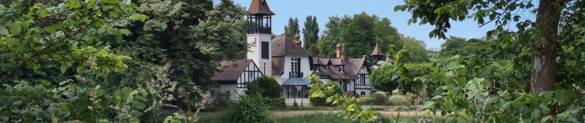
Photos
 - 2025 05 24 - Photo 1")
 - 2025 05 24 - Photo 2")
 - 2025 05 24 - Photo 3")
 - 2025 05 24 - Photo 4")
 - 2025 05 24 - Photo 5")
 - 2025 05 24 - Photo 6")
 - 2025 05 24 - Photo 7")
 - 2025 05 24 - Photo 8")
 - 2025 05 24 - Photo 9")
 - 2025 05 24 - Photo 10")
 - 2025 05 24 - Photo 11")
 - 2025 05 24 - Photo 12")
 - 2025 05 24 - Photo 13")
 - 2025 05 24 - Photo 14")
 - 2025 05 24 - Photo 15")
 - 2025 05 24 - Photo 16")
 - 2025 05 24 - Photo 17")
 - 2025 05 24 - Photo 18")
 - 2025 05 24 - Photo 19")
 - 2025 05 24 - Photo 20")
 - 2025 05 24 - Photo 21")
21 photos in total. Please click on a photo to see them all in the gallery.
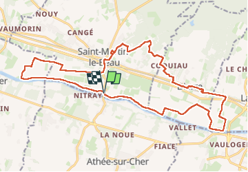
Positioning
Comments