


rajah - St cheply d aubrac

prv
User
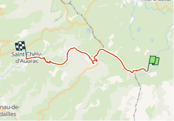

Length
21 km

Max alt
1427 m

Uphill gradient
262 m
Km-Effort
27 km

Min alt
792 m

Downhill gradient
774 m
Boucle
No
Creation date :
2015-07-18 00:00:00.0
Updated on :
2015-07-18 00:00:00.0
5h39
Difficulty : Unknown

FREE GPS app for hiking
 SityTrail
IGN / Geographical institutes
SityTrail Plus
The world is yours!
About
Trail Walking of 21 km to be discovered at Occitania, Lozère, Les Salces. This trail is proposed by prv.
Description
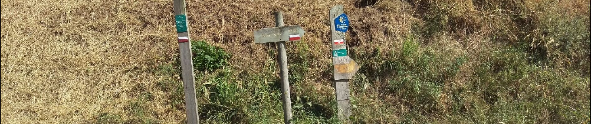
tour des monts d aubrac
Photos

Positioning
Country:
France
Region :
Occitania
Department/Province :
Lozère
Municipality :
Les Salces
Location:
Unknown
Start:(Dec)
Start:(UTM)
507428 ; 4935885 (31T) N.
Comments