


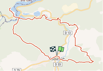
SityTrail - Autour de Cabasse - 2eme version

affinetataille
User GUIDE


6h00
Difficulty : Medium

FREE GPS app for hiking
 SityTrail
IGN / Geographical institutes
SityTrail Plus
The world is yours!
About
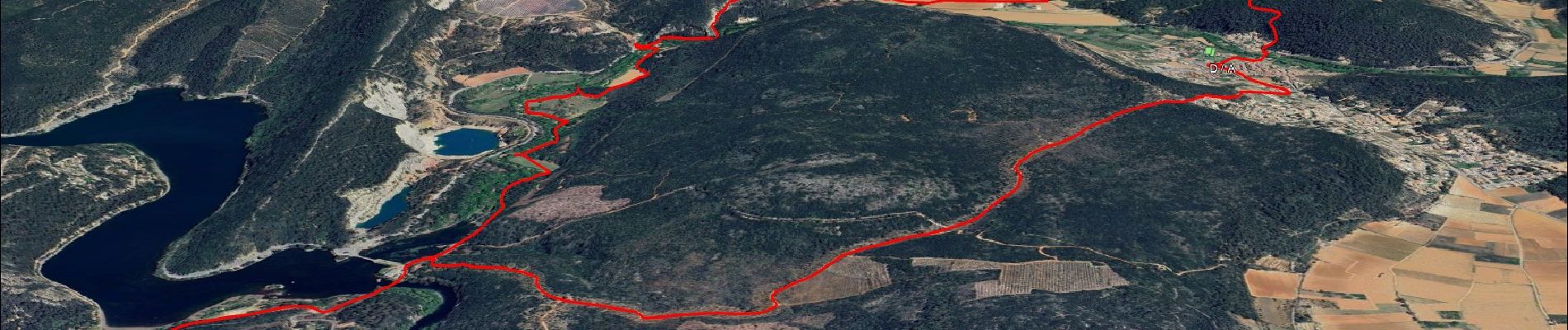
Trail Walking of 13.9 km to be discovered at Provence-Alpes-Côte d'Azur, Var, Cabasse. This trail is proposed by affinetataille.
Description
2 bonnes montées
1 passage sur corniche sous les falaises (cordes en place pour se tenir)
Multiples points d'intérêts (chapelle , dolmens, source de la fontaine d'ajonc...) balade le long de l'Issole et points de vues.
Belle randonnée
Photos


Positioning
Comments