


Neuglashütten -Feldberg

BrigitteBertrand
User
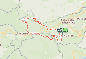

Length
14.8 km

Max alt
1291 m

Uphill gradient
496 m
Km-Effort
21 km

Min alt
1003 m

Downhill gradient
511 m
Boucle
Yes
Creation date :
2025-05-26 07:33:07.0
Updated on :
2025-06-12 10:55:28.454
4h52
Difficulty : Very difficult

FREE GPS app for hiking
 SityTrail
IGN / Geographical institutes
SityTrail Plus
The world is yours!
About
Trail Walking of 14.8 km to be discovered at Baden-Württemberg, Landkreis Breisgau-Hochschwarzwald, Feldberg. This trail is proposed by BrigitteBertrand.
Description
La montagne
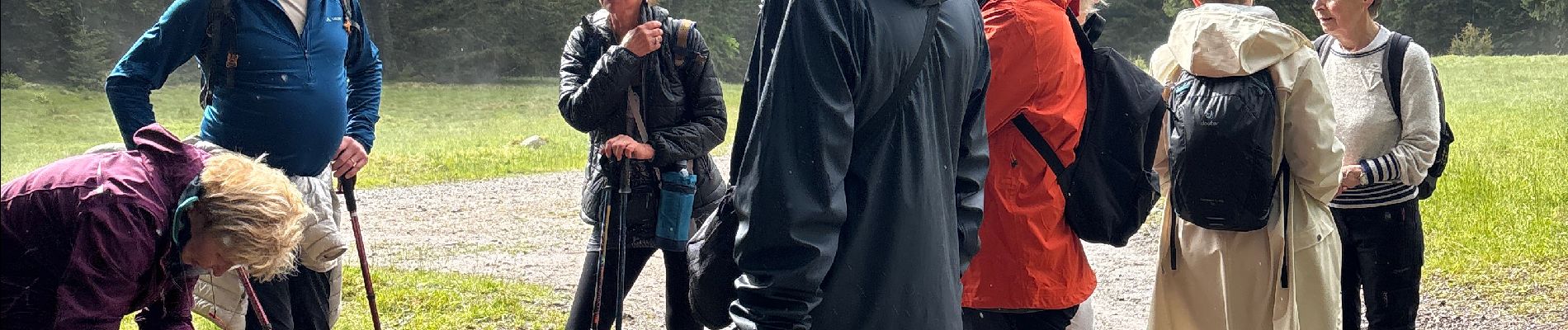
Photos


21 photos in total. Please click on a photo to see them all in the gallery.
Positioning
Country:
Germany
Region :
Baden-Württemberg
Department/Province :
Landkreis Breisgau-Hochschwarzwald
Municipality :
Feldberg
Location:
Altglashütten
Start:(Dec)
Start:(UTM)
431682 ; 5300666 (32T) N.
Comments