


Faisans le Patouillet

dcharbonnier
User

Length
15.7 km

Max alt
274 m

Uphill gradient
191 m
Km-Effort
18.2 km

Min alt
212 m

Downhill gradient
191 m
Boucle
Yes
Creation date :
2025-05-26 11:52:13.196
Updated on :
2025-05-26 16:01:55.447
4h08
Difficulty : Difficult

FREE GPS app for hiking
 SityTrail
IGN / Geographical institutes
SityTrail Plus
The world is yours!
About
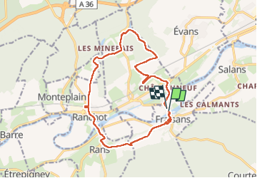
Trail Walking of 15.7 km to be discovered at Bourgogne-Franche-Comté, Jura, Fraisans. This trail is proposed by dcharbonnier.
Positioning
Country:
France
Region :
Bourgogne-Franche-Comté
Department/Province :
Jura
Municipality :
Fraisans
Location:
Unknown
Start:(Dec)
Start:(UTM)
709214 ; 5225711 (31T) N.
Comments