


SJDC 2025 conques livinhac 20250526

djeepee74
User
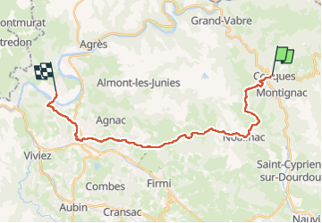

Length
24 km

Max alt
638 m

Uphill gradient
775 m
Km-Effort
35 km

Min alt
177 m

Downhill gradient
883 m
Boucle
No
Creation date :
2025-05-26 06:52:55.788
Updated on :
2025-06-10 15:42:01.845
7h51
Difficulty : Very difficult

FREE GPS app for hiking
 SityTrail
IGN / Geographical institutes
SityTrail Plus
The world is yours!
About
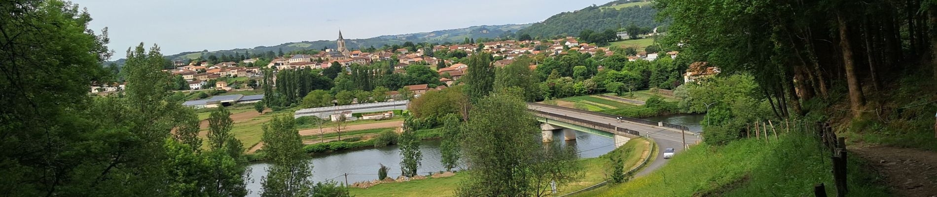
Trail Walking of 24 km to be discovered at Occitania, Aveyron, Conques-en-Rouergue. This trail is proposed by djeepee74.
Photos


Positioning
Country:
France
Region :
Occitania
Department/Province :
Aveyron
Municipality :
Conques-en-Rouergue
Location:
Unknown
Start:(Dec)
Start:(UTM)
452090 ; 4938678 (31T) N.
Comments