


13-bibemus_barrages_zola&bimont_10km270m

SyMA
User
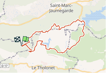

Length
10.4 km

Max alt
374 m

Uphill gradient
272 m
Km-Effort
14.1 km

Min alt
222 m

Downhill gradient
273 m
Boucle
Yes
Creation date :
2025-05-28 07:16:58.694
Updated on :
2025-06-04 10:02:00.72
3h22
Difficulty : Easy

FREE GPS app for hiking
 SityTrail
IGN / Geographical institutes
SityTrail Plus
The world is yours!
About
Trail Walking of 10.4 km to be discovered at Provence-Alpes-Côte d'Azur, Bouches-du-Rhône, Aix-en-Provence. This trail is proposed by SyMA.
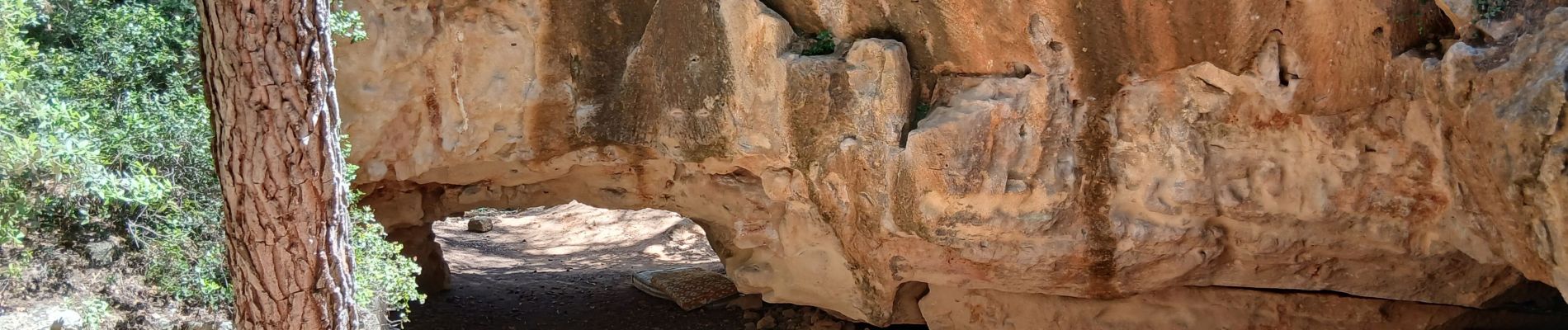
Photos


Positioning
Country:
France
Region :
Provence-Alpes-Côte d'Azur
Department/Province :
Bouches-du-Rhône
Municipality :
Aix-en-Provence
Location:
Unknown
Start:(Dec)
Start:(UTM)
701970 ; 4822832 (31T) N.
Comments