


Serre de Mouton en boucle

orsel
User GUIDE
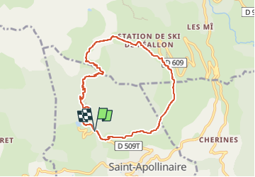

Length
8.3 km

Max alt
1963 m

Uphill gradient
587 m
Km-Effort
16.1 km

Min alt
1396 m

Downhill gradient
597 m
Boucle
Yes
Creation date :
2025-05-28 11:53:51.699
Updated on :
2025-05-28 14:26:08.32
2h31
Difficulty : Easy

FREE GPS app for hiking
 SityTrail
IGN / Geographical institutes
SityTrail Plus
The world is yours!
About
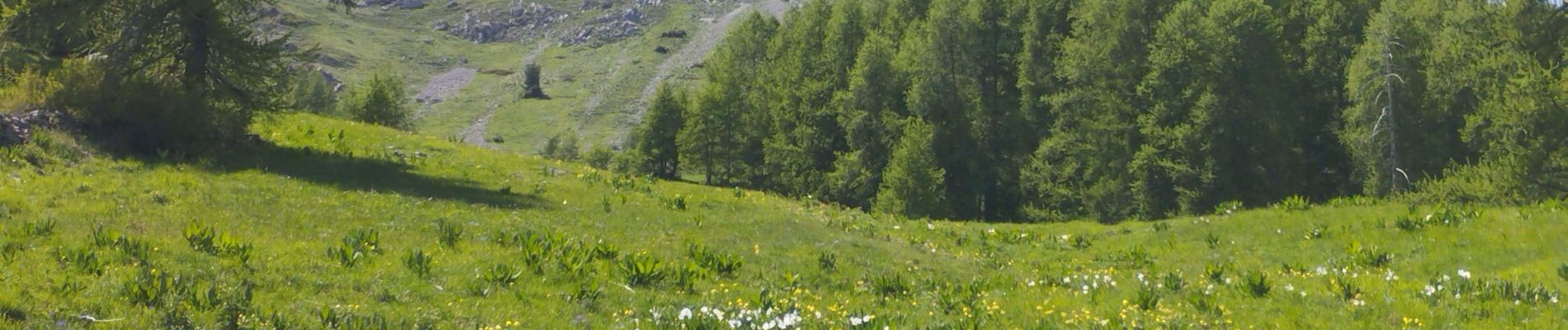
Trail Walking of 8.3 km to be discovered at Provence-Alpes-Côte d'Azur, Hautes-Alpes, Saint-Apollinaire. This trail is proposed by orsel.
Photos


Positioning
Country:
France
Region :
Provence-Alpes-Côte d'Azur
Department/Province :
Hautes-Alpes
Municipality :
Saint-Apollinaire
Location:
Unknown
Start:(Dec)
Start:(UTM)
289561 ; 4937676 (32T) N.
Comments