


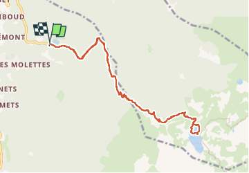
Lac du Crozet

Roger Philippe Wallez
User GUIDE

Length
11.2 km

Max alt
1987 m

Uphill gradient
844 m
Km-Effort
22 km

Min alt
1142 m

Downhill gradient
844 m
Boucle
Yes
Creation date :
2025-05-28 08:03:44.0
Updated on :
2025-05-28 18:45:49.983
4h36
Difficulty : Very difficult

FREE GPS app for hiking
 SityTrail
IGN / Geographical institutes
SityTrail Plus
The world is yours!
About
Trail Walking of 11.2 km to be discovered at Auvergne-Rhône-Alpes, Isère, Revel. This trail is proposed by Roger Philippe Wallez.
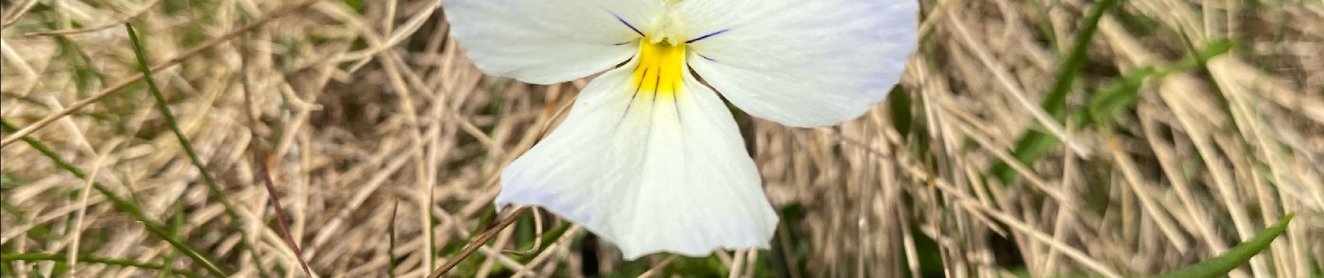
Photos


22 photos in total. Please click on a photo to see them all in the gallery.
Positioning
Country:
France
Region :
Auvergne-Rhône-Alpes
Department/Province :
Isère
Municipality :
Revel
Location:
Unknown
Start:(Dec)
Start:(UTM)
727759 ; 5007767 (31T) N.
Comments