


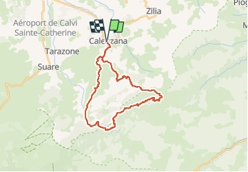
Rando Calenzana Bonifatu

Fab-Oz
User


11h02
Difficulty : Very difficult

FREE GPS app for hiking
 SityTrail
IGN / Geographical institutes
SityTrail Plus
The world is yours!
About
Trail Walking of 34 km to be discovered at Corsica, Haute-Corse, Calenzana. This trail is proposed by Fab-Oz.
Description
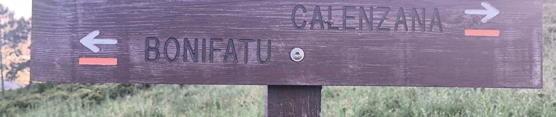
Première partie de la rando en suivant l'étape 1 du GR20 jusqu'au refuge d'Ortu di u Piobbu
Retour par Bonifatu, en suivant le sentier balisé en jaune
Puis au parking, prendre le balisage orange pour revenir sur Calenzana
Photos


Positioning
Comments