


Case

kayamb
User
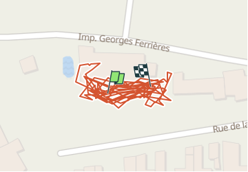

Length
530 m

Max alt
76 m

Uphill gradient
0 m
Km-Effort
530 m

Min alt
75 m

Downhill gradient
0 m
Boucle
Yes
Creation date :
2025-05-30 15:32:06.0
Updated on :
2025-05-30 17:39:00.06
27m
Difficulty : Easy

FREE GPS app for hiking
 SityTrail
IGN / Geographical institutes
SityTrail Plus
The world is yours!
About
Trail Walking of 530 m to be discovered at Provence-Alpes-Côte d'Azur, Vaucluse, Cavaillon. This trail is proposed by kayamb.
Positioning
Country:
France
Region :
Provence-Alpes-Côte d'Azur
Department/Province :
Vaucluse
Municipality :
Cavaillon
Location:
Unknown
Start:(Dec)
Start:(UTM)
664582 ; 4856836 (31T) N.
Comments