


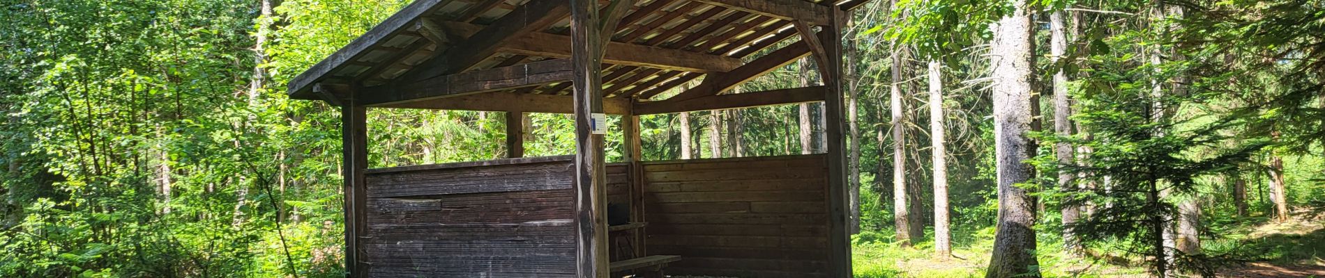
Ecromagny - balade dans les étangs

Bart2015
User
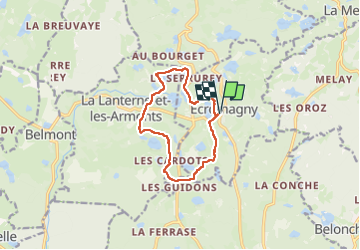

Length
10.2 km

Max alt
492 m

Uphill gradient
154 m
Km-Effort
12.3 km

Min alt
438 m

Downhill gradient
154 m
Boucle
Yes
Creation date :
2025-05-31 08:48:05.623
Updated on :
2025-06-01 15:31:10.989
2h47
Difficulty : Difficult

FREE GPS app for hiking
 SityTrail
IGN / Geographical institutes
SityTrail Plus
The world is yours!
About
Trail Walking of 10.2 km to be discovered at Bourgogne-Franche-Comté, Haute-Saône, Écromagny. This trail is proposed by Bart2015.
Photos

Positioning
Country:
France
Region :
Bourgogne-Franche-Comté
Department/Province :
Haute-Saône
Municipality :
Écromagny
Location:
Unknown
Start:(Dec)
Start:(UTM)
317427 ; 5296105 (32T) N.
Comments