


Reconnaissance Bucey 10/06/2025

FPortier
User
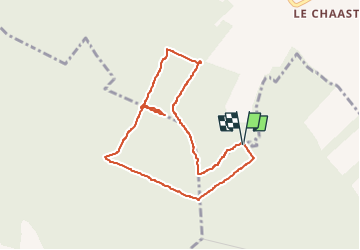

Length
4 km

Max alt
247 m

Uphill gradient
62 m
Km-Effort
4.8 km

Min alt
197 m

Downhill gradient
63 m
Boucle
Yes
Creation date :
2025-05-31 12:20:11.536
Updated on :
2025-06-01 08:52:13.825
1h17
Difficulty : Easy

FREE GPS app for hiking
 SityTrail
IGN / Geographical institutes
SityTrail Plus
The world is yours!
About
Trail Walking of 4 km to be discovered at Grand Est, Aube, Vauchassis. This trail is proposed by FPortier.
Description
Balade club Bucey
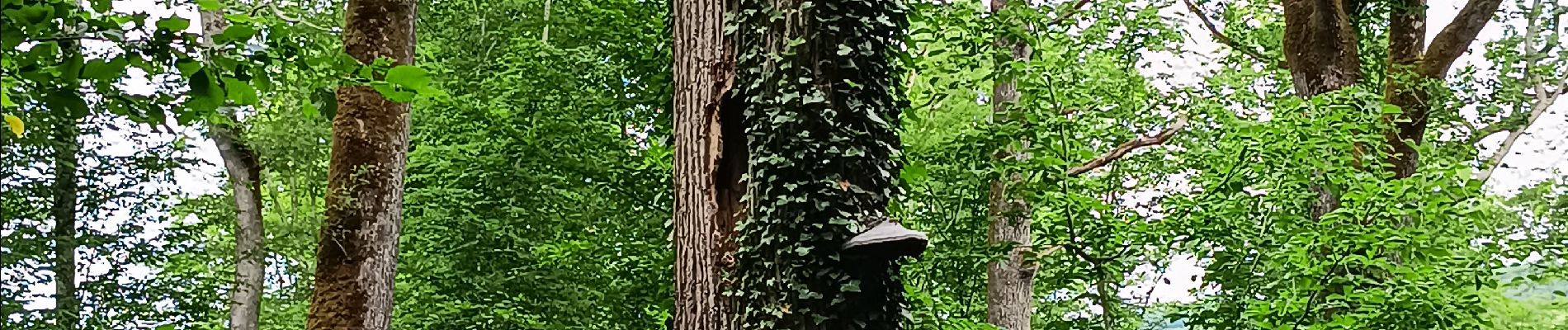
Photos

Positioning
Country:
France
Region :
Grand Est
Department/Province :
Aube
Municipality :
Vauchassis
Location:
Unknown
Start:(Dec)
Start:(UTM)
565750 ; 5342856 (31U) N.
Comments