


Tour des moulins

Michel07
User
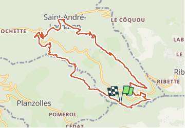

Length
13 km

Max alt
704 m

Uphill gradient
536 m
Km-Effort
20 km

Min alt
238 m

Downhill gradient
536 m
Boucle
Yes
Creation date :
2025-06-01 06:49:19.0
Updated on :
2025-06-01 12:19:27.193
4h48
Difficulty : Difficult

FREE GPS app for hiking
 SityTrail
IGN / Geographical institutes
SityTrail Plus
The world is yours!
About
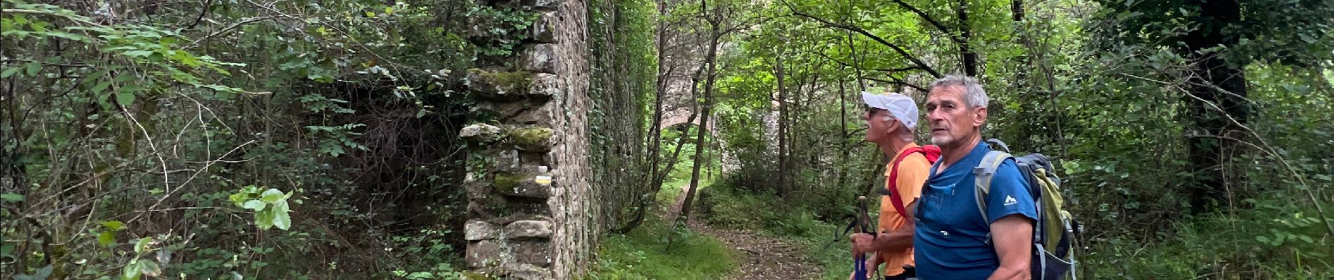
Trail Walking of 13 km to be discovered at Auvergne-Rhône-Alpes, Ardèche, Saint-André-Lachamp. This trail is proposed by Michel07.
Photos


Positioning
Country:
France
Region :
Auvergne-Rhône-Alpes
Department/Province :
Ardèche
Municipality :
Saint-André-Lachamp
Location:
Unknown
Start:(Dec)
Start:(UTM)
594099 ; 4926510 (31T) N.
Comments