


sarrancolin pla de peyre

houbart
User
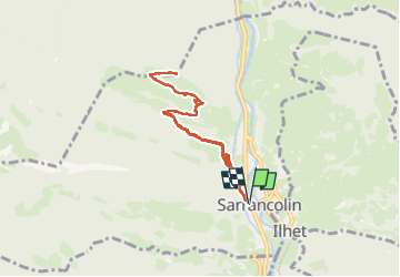

Length
8 km

Max alt
1091 m

Uphill gradient
470 m
Km-Effort
14.2 km

Min alt
628 m

Downhill gradient
470 m
Boucle
Yes
Creation date :
2025-06-01 08:30:15.627
Updated on :
2025-06-01 12:20:01.734
2h25
Difficulty : Difficult

FREE GPS app for hiking
 SityTrail
IGN / Geographical institutes
SityTrail Plus
The world is yours!
About
Trail Walking of 8 km to be discovered at Occitania, Hautespyrenees, Sarrancolin. This trail is proposed by houbart.
Positioning
Country:
France
Region :
Occitania
Department/Province :
Hautespyrenees
Municipality :
Sarrancolin
Location:
Unknown
Start:(Dec)
Start:(UTM)
286042 ; 4760466 (31T) N.
Comments