


Roquefixade Alain G

Ada11
User GUIDE

Length
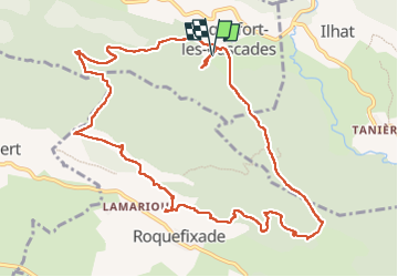
13 km

Max alt
989 m

Uphill gradient
689 m
Km-Effort
22 km

Min alt
457 m

Downhill gradient
683 m
Boucle
Yes
Creation date :
2025-06-01 07:00:42.657
Updated on :
2025-06-01 13:15:29.249
5h28
Difficulty : Medium

FREE GPS app for hiking
 SityTrail
IGN / Geographical institutes
SityTrail Plus
The world is yours!
About
Trail Walking of 13 km to be discovered at Occitania, Ariège, Roquefort-les-Cascades. This trail is proposed by Ada11.
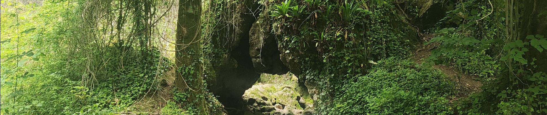
Photos


Positioning
Country:
France
Region :
Occitania
Department/Province :
Ariège
Municipality :
Roquefort-les-Cascades
Location:
Unknown
Start:(Dec)
Start:(UTM)
398908 ; 4756695 (31T) N.
Comments