


20250603 Roncherolles

Childebert
User
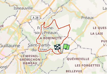

Length
12.6 km

Max alt
166 m

Uphill gradient
274 m
Km-Effort
16.3 km

Min alt
51 m

Downhill gradient
274 m
Boucle
Yes
Creation date :
2025-06-03 11:56:13.784
Updated on :
2025-06-03 18:36:46.952
3h42
Difficulty : Difficult

FREE GPS app for hiking
 SityTrail
IGN / Geographical institutes
SityTrail Plus
The world is yours!
About
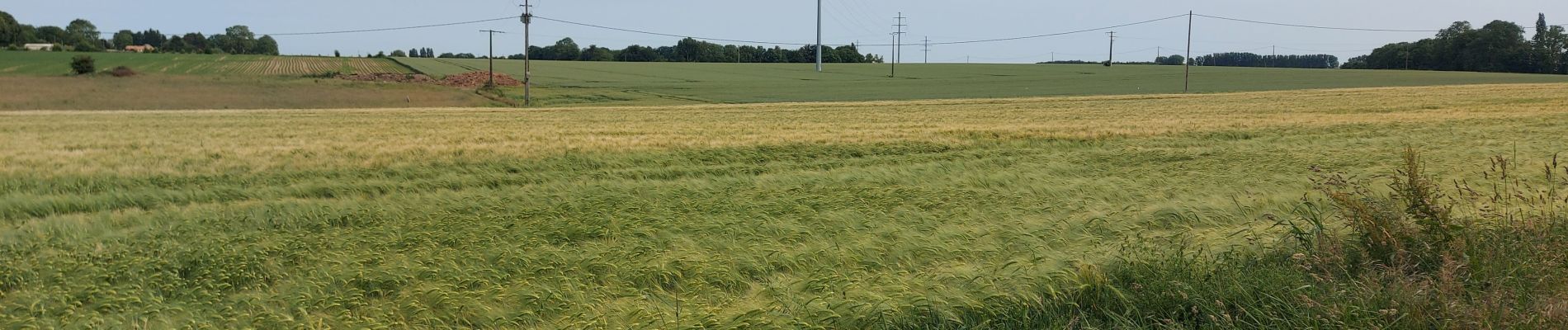
Trail Walking of 12.6 km to be discovered at Normandy, Seine-Maritime, Roncherolles-sur-le-Vivier. This trail is proposed by Childebert.
Photos

Positioning
Country:
France
Region :
Normandy
Department/Province :
Seine-Maritime
Municipality :
Roncherolles-sur-le-Vivier
Location:
Unknown
Start:(Dec)
Start:(UTM)
368626 ; 5480672 (31U) N.
Comments