


PR_56_Guenin_AA_01_Tenuel_Circuit1b_20250604

patrickdanilo
User
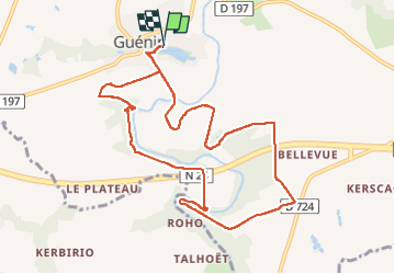

Length
10.1 km

Max alt
112 m

Uphill gradient
205 m
Km-Effort
12.9 km

Min alt
39 m

Downhill gradient
206 m
Boucle
Yes
Creation date :
2025-06-04 07:03:21.683
Updated on :
2025-07-26 13:29:22.023
2h55
Difficulty : Medium

FREE GPS app for hiking
 SityTrail
IGN / Geographical institutes
SityTrail Plus
The world is yours!
About
Trail Walking of 10.1 km to be discovered at Brittany, Morbihan, Guénin. This trail is proposed by patrickdanilo.
Description
Randonnée Marche de 10,1 km à découvrir à Bretagne, Morbihan, Guénin. Cette randonnée est proposée par patrickdanilo.
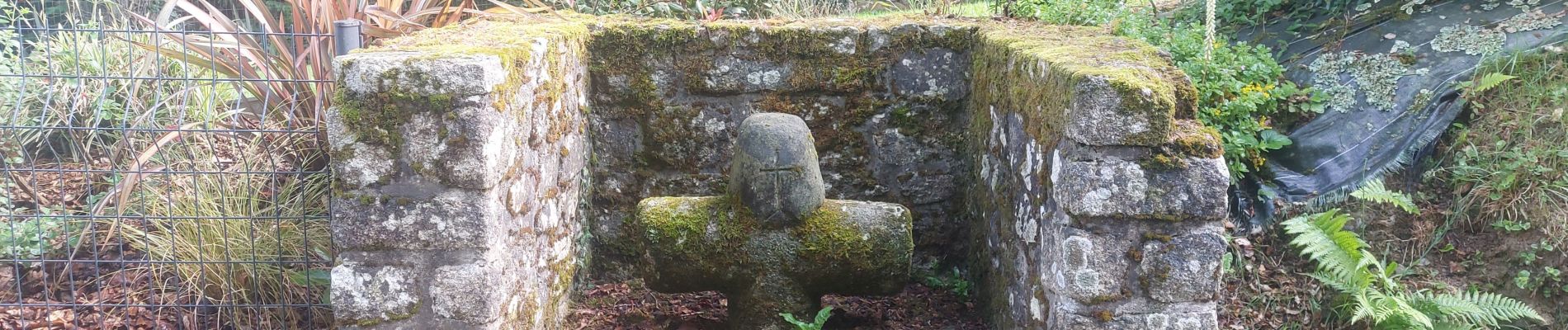
Photos


Positioning
Country:
France
Region :
Brittany
Department/Province :
Morbihan
Municipality :
Guénin
Location:
Unknown
Start:(Dec)
Start:(UTM)
501761 ; 5305922 (30T) N.
Comments