2015 07 18 Pont du Moutet - Refuge des Drayères

DanielROLLET
User

Length
15.2 km

Max alt
2765 m

Uphill gradient
1018 m
Km-Effort
28 km

Min alt
2021 m

Downhill gradient
866 m
Boucle
No
Creation date :
2015-07-22 00:00:00.0
Updated on :
2015-07-22 00:00:00.0
5h51
Difficulty : Very difficult

FREE GPS app for hiking
 SityTrail
IGN / Geographical institutes
SityTrail Plus
The world is yours!
About
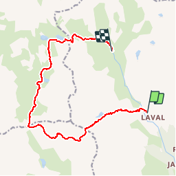
Trail Walking of 15.2 km to be discovered at Provence-Alpes-Côte d'Azur, Hautes-Alpes, Névache. This trail is proposed by DanielROLLET.
Points of interest


Positioning
Country:
France
Region :
Provence-Alpes-Côte d'Azur
Department/Province :
Hautes-Alpes
Municipality :
Névache
Location:
Unknown
Start:(Dec)
Start:(UTM)
305182 ; 4992523 (32T) N.
Comments