


Randonnée 33 - Sancerre

Lobin
User


Length
29 km

Max alt
309 m

Uphill gradient
607 m
Km-Effort
37 km

Min alt
141 m

Downhill gradient
606 m
Boucle
Yes
Creation date :
2025-06-08 07:12:27.0
Updated on :
2025-06-08 10:10:50.95
2h56
Difficulty : Medium

FREE GPS app for hiking
 SityTrail
IGN / Geographical institutes
SityTrail Plus
The world is yours!
About
Trail Mountain bike of 29 km to be discovered at Centre-Loire Valley, Cher, Verdigny. This trail is proposed by Lobin.
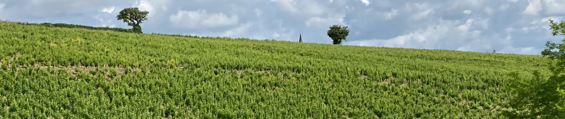
Photos


Positioning
Country:
France
Region :
Centre-Loire Valley
Department/Province :
Cher
Municipality :
Verdigny
Location:
Unknown
Start:(Dec)
Start:(UTM)
485441 ; 5243691 (31T) N.
Comments