


2025-06-08 Echternach - Consdorf

Kargil
User GUIDE
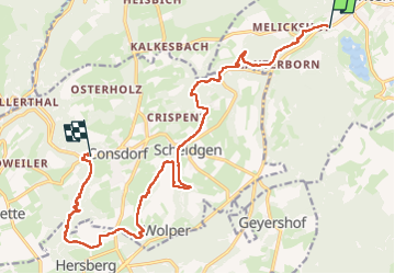

Length
16.8 km

Max alt
395 m

Uphill gradient
499 m
Km-Effort
23 km

Min alt
187 m

Downhill gradient
365 m
Boucle
No
Creation date :
2025-06-08 07:01:59.226
Updated on :
2025-06-10 15:19:16.904
5h13
Difficulty : Difficult

FREE GPS app for hiking
 SityTrail
IGN / Geographical institutes
SityTrail Plus
The world is yours!
About
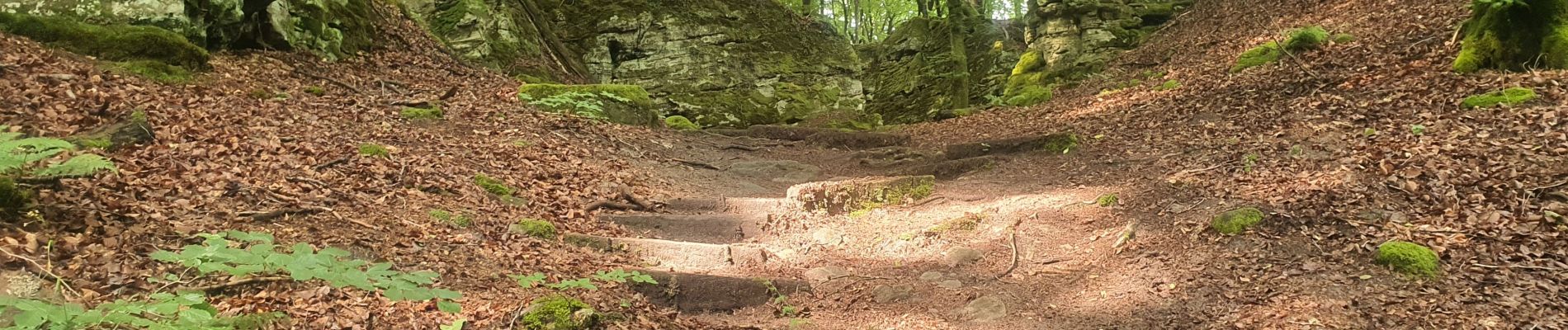
Trail Walking of 16.8 km to be discovered at Unknown, Canton Echternach, Echternach. This trail is proposed by Kargil.
Photos


Positioning
Country:
Luxembourg
Region :
Unknown
Department/Province :
Canton Echternach
Municipality :
Echternach
Location:
Unknown
Start:(Dec)
Start:(UTM)
313263 ; 5520249 (32U) N.
Comments