


CLOS DEL MAS

PascalBanide
User

Length
5.8 km

Max alt
277 m

Uphill gradient
88 m
Km-Effort
6.9 km

Min alt
203 m

Downhill gradient
82 m
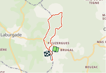
Boucle
No
Creation date :
2025-06-08 14:48:04.0
Updated on :
2025-06-08 16:27:38.869

FREE GPS app for hiking
 SityTrail
IGN / Geographical institutes
SityTrail Plus
The world is yours!
About
Trail of 5.8 km to be discovered at Occitania, Lot, Cremps. This trail is proposed by PascalBanide.
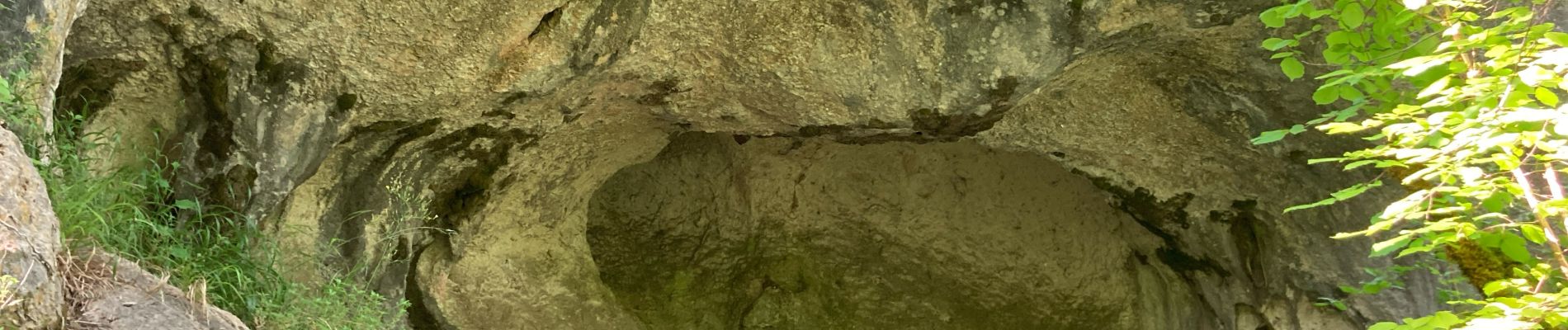
Photos


Positioning
Country:
France
Region :
Occitania
Department/Province :
Lot
Municipality :
Cremps
Location:
Unknown
Start:(Dec)
Start:(UTM)
385577 ; 4914785 (31T) N.
Comments