


Druye - Sentier du menhir avec variante - Vallères - 23km 175m 5h30 (1h) - 2025 06 08

Orcal37
User GUIDE
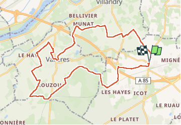

Length
23 km

Max alt
97 m

Uphill gradient
176 m
Km-Effort
25 km

Min alt
53 m

Downhill gradient
176 m
Boucle
Yes
Creation date :
2025-06-08 08:20:15.69
Updated on :
2025-06-08 21:44:51.52
5h30
Difficulty : Medium

FREE GPS app for hiking
 SityTrail
IGN / Geographical institutes
SityTrail Plus
The world is yours!
About
Trail Walking of 23 km to be discovered at Centre-Loire Valley, Indre-et-Loire. This trail is proposed by Orcal37.
Description
Druye - Sentier du menhir avec variante - Vallères - 23km 175m 5h30 (1h) - 2025 06 08
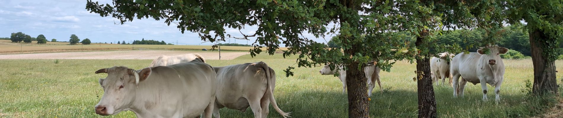
Photos
 - 2025 06 08 - Photo 1")
 - 2025 06 08 - Photo 2")
 - 2025 06 08 - Photo 3")
 - 2025 06 08 - Photo 4")
 - 2025 06 08 - Photo 5")
 - 2025 06 08 - Photo 6")
 - 2025 06 08 - Photo 7")
 - 2025 06 08 - Photo 8")
 - 2025 06 08 - Photo 9")
 - 2025 06 08 - Photo 10")
Positioning
Country:
France
Region :
Centre-Loire Valley
Department/Province :
Indre-et-Loire
Municipality :
Unknown
Location:
Unknown
Start:(Dec)
Start:(UTM)
313932 ; 5242637 (31T) N.
Comments