


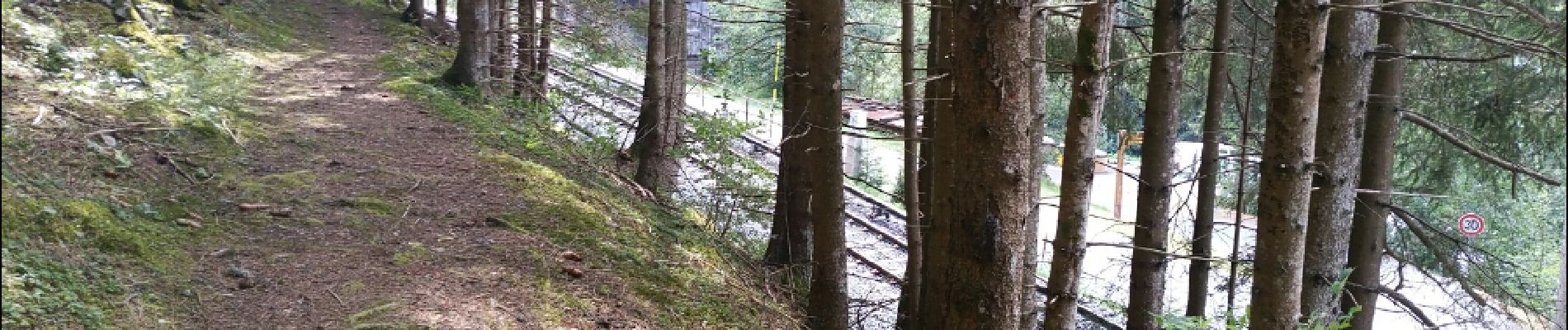
a balade Barberine 20150723

mrioux
User
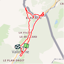

Length
8.6 km

Max alt
1323 m

Uphill gradient
307 m
Km-Effort
12.7 km

Min alt
1121 m

Downhill gradient
309 m
Boucle
Yes
Creation date :
2016-12-29 00:00:00.0
Updated on :
2016-12-29 00:00:00.0
2h53
Difficulty : Very easy

FREE GPS app for hiking
 SityTrail
IGN / Geographical institutes
SityTrail Plus
The world is yours!
About
Trail Walking of 8.6 km to be discovered at Auvergne-Rhône-Alpes, Upper Savoy, Vallorcine. This trail is proposed by mrioux.
Photos


Positioning
Country:
France
Region :
Auvergne-Rhône-Alpes
Department/Province :
Upper Savoy
Municipality :
Vallorcine
Location:
Unknown
Start:(Dec)
Start:(UTM)
340139 ; 5099926 (32T) N.
Comments