


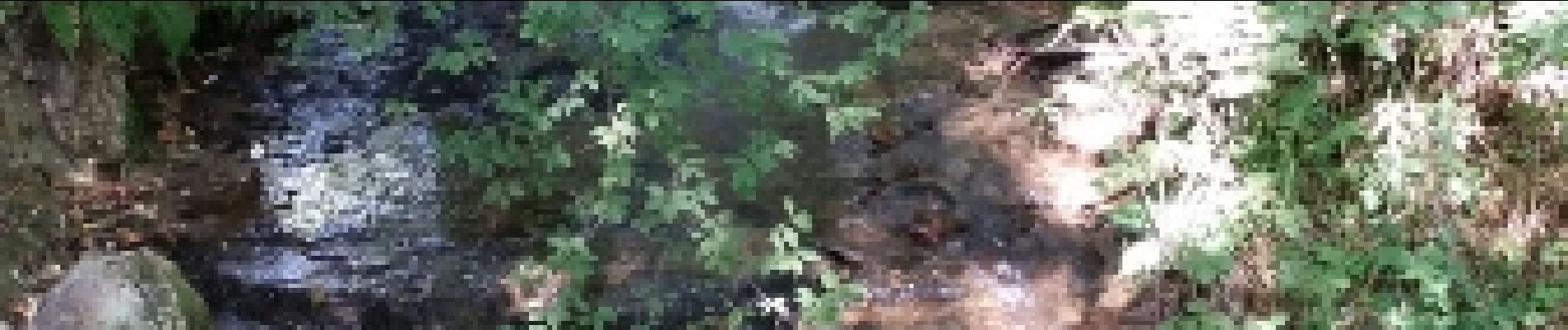
Chastreix. cascades et tourbières

olivier78000
User
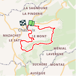

Length
13.8 km

Max alt
1214 m

Uphill gradient
333 m
Km-Effort
18.3 km

Min alt
1030 m

Downhill gradient
331 m
Boucle
Yes
Creation date :
2015-07-23 00:00:00.0
Updated on :
2015-07-23 00:00:00.0
4h05
Difficulty : Easy

FREE GPS app for hiking
 SityTrail
IGN / Geographical institutes
SityTrail Plus
The world is yours!
About
Trail Walking of 13.8 km to be discovered at Auvergne-Rhône-Alpes, Puy-de-Dôme, Chastreix. This trail is proposed by olivier78000.
Photos


Positioning
Country:
France
Region :
Auvergne-Rhône-Alpes
Department/Province :
Puy-de-Dôme
Municipality :
Chastreix
Location:
Unknown
Start:(Dec)
Start:(UTM)
479273 ; 5039903 (31T) N.
Comments
Randonnée longue mais assez facile. Magnifiques paysages qui changent d'un sentier à l'autre. Superbe point de vue sur le Sancy. Vers la fin le parcours est un peu particulier, on traverse un champ. Il faut serrer à droite pour retrouver le chemin.