


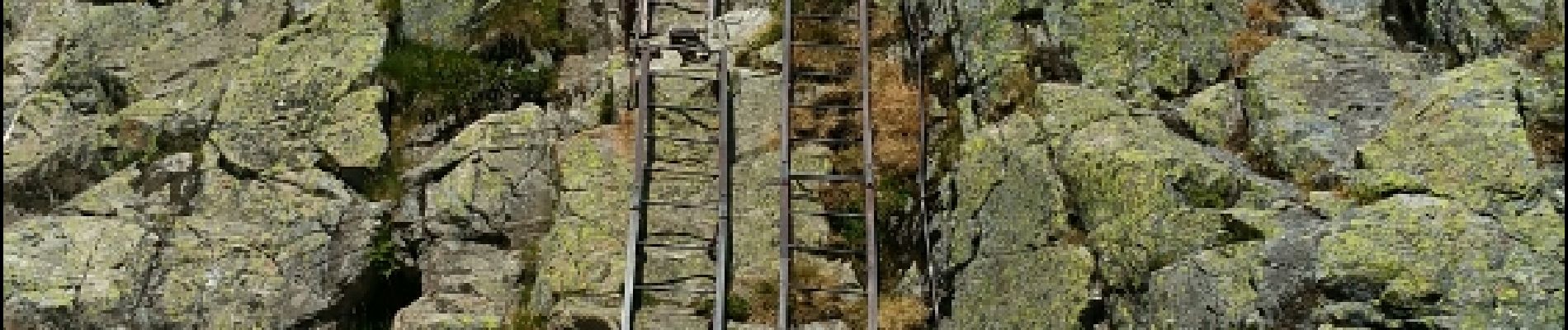
a lac blanc col des montets vallorcine 20150724

mrioux
User


Length
13.5 km

Max alt
2368 m

Uphill gradient
529 m
Km-Effort
23 km

Min alt
1259 m

Downhill gradient
1154 m
Boucle
No
Creation date :
2016-12-29 00:00:00.0
Updated on :
2016-12-29 00:00:00.0
6h18
Difficulty : Difficult

FREE GPS app for hiking
 SityTrail
IGN / Geographical institutes
SityTrail Plus
The world is yours!
About
Trail Walking of 13.5 km to be discovered at Auvergne-Rhône-Alpes, Upper Savoy, Chamonix-Mont-Blanc. This trail is proposed by mrioux.
Photos


Positioning
Country:
France
Region :
Auvergne-Rhône-Alpes
Department/Province :
Upper Savoy
Municipality :
Chamonix-Mont-Blanc
Location:
Unknown
Start:(Dec)
Start:(UTM)
336265 ; 5091858 (32T) N.
Comments