


Cee Fisterra

Vinceneux
User
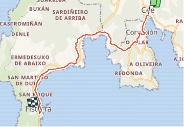

Length
13 km

Max alt
116 m

Uphill gradient
285 m
Km-Effort
16.8 km

Min alt
1 m

Downhill gradient
273 m
Boucle
No
Creation date :
2025-06-13 05:52:24.802
Updated on :
2025-06-13 09:31:03.02
3h38
Difficulty : Difficult

FREE GPS app for hiking
 SityTrail
IGN / Geographical institutes
SityTrail Plus
The world is yours!
About
Trail Walking of 13 km to be discovered at Galicia, A Coruña, Cee. This trail is proposed by Vinceneux.
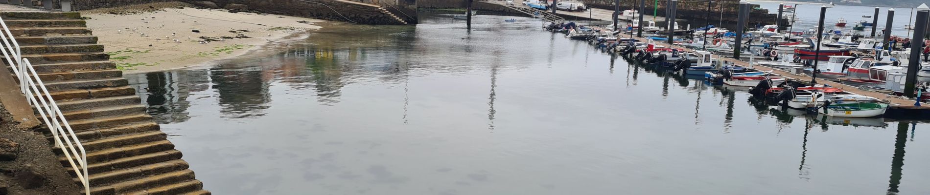
Photos


Positioning
Country:
Spain
Region :
Galicia
Department/Province :
A Coruña
Municipality :
Cee
Location:
Unknown
Start:(Dec)
Start:(UTM)
484523 ; 4755688 (29T) N.
Comments